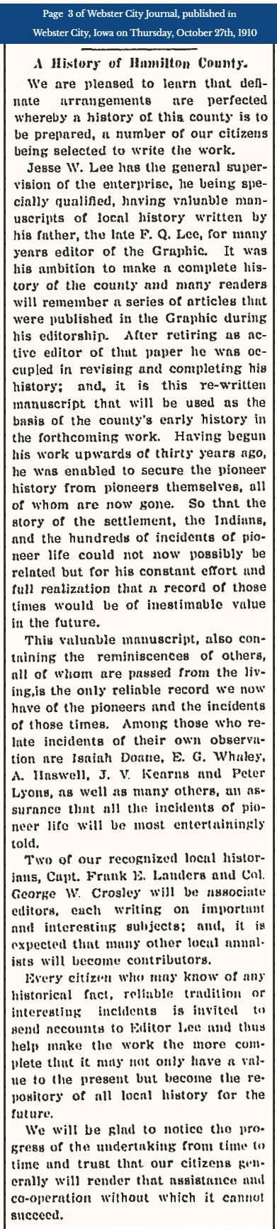
A book which would tell the story of Hamilton County History was being prepared by Jesse W. Lee with help from many others. View a news article published October 27 1910 in the Webster City Journal telling of the plan for a book many were anticipating. View a news article published January 24, 1942 in The Daily Freeman Journal which tells more about Jesse Lee and his noted uncle, John Wesley Lee, an important early pioneer of Webster City.
Here are a few pages from that book known as Lee's 1912 History of Hamilton County:
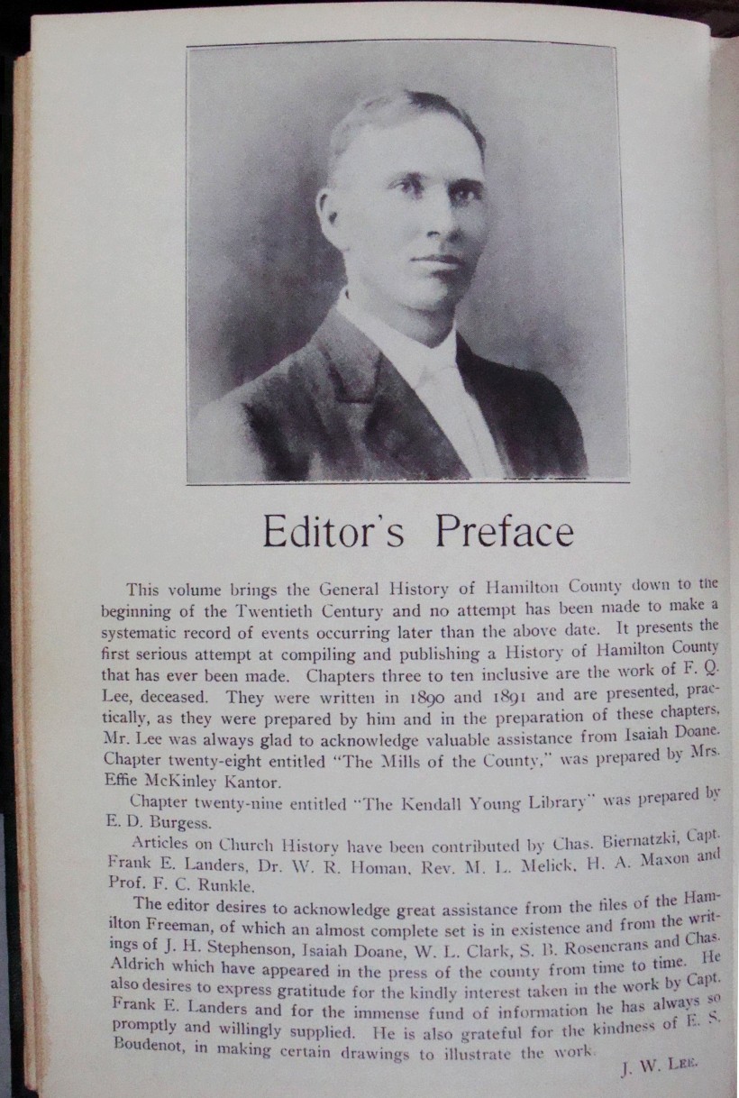
This volume brings the General History of Hamilton County down to the beginning of the Twentieth Century and no attempt has been made to make a systematic record of events occurring later than the above date. It presents the first serious attempt at compiling and publishing a History of Hamilton County that has ever been made. Chapters three to ten inclusive are the work of F. Q. Lee, deceased. They were written in 1890 and 1891 and are presented, practically, as they were prepared by him and in the preparation of these chapters, Mr. Lee was always glad to acknowledge valuable assistance from Isaiah Doane. . . . . .
The editor desires to acknowledge great assistance from the files of the Hamilton Freeman, of which an almost complete set is in existence and from the writings of J. H. Stephenson, Isaiah Doane, W. L. Clark, S. B. Rosencrans and Chas. Aldrich which have appeard in the press of the county from time to time. He also desires to express gratitude for the kindly interest taken in the work by Capt. Frank E. Landers and for the immense fund of information he has always so promptly and willingly supplied. He is alwo grateful for the kindness of E. S. Boudenot, in making certain drawings to illustrate the work.
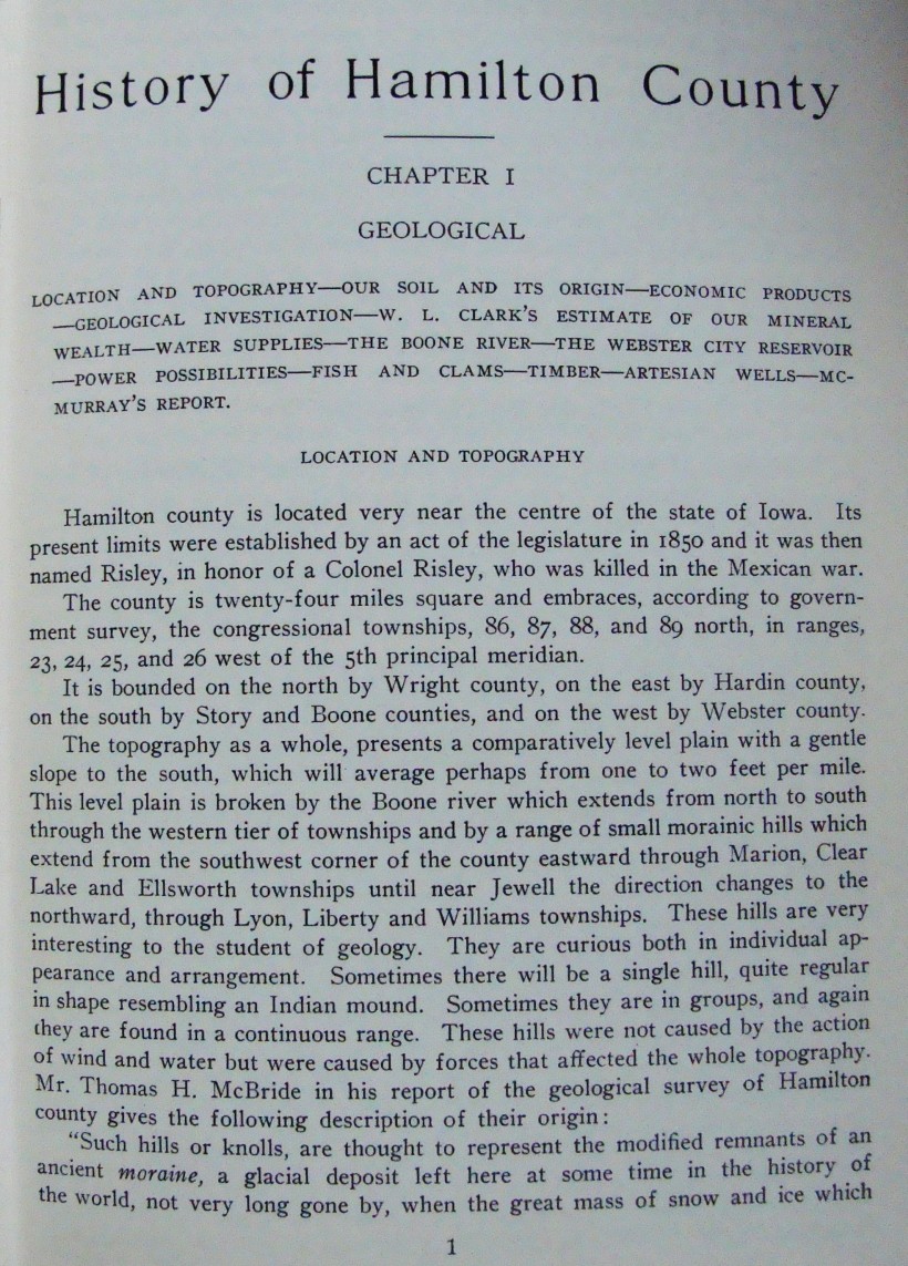
Hamilton county is located very near the centre of the state of Iowa. Its present limits were established by an act of the legislature in 1850 and it was then named Risley, in honor of a Colonel Risley, who was killed in the Mexican war.
The county is twenty-four miles square and embraces, according to government survey, the congressional townships 86, 87, 88, and 89 north, in ranges 23, 24, 25, and 26 west of the 5th principal meridian.
It is bounded on the north by Wright county, on the east by Hardin county, on the south by Story and Boone counties, and on the west by Webster county.
The topography as a whole, presents a comparatively level plain with a gentle slope to the south, which will average perhaps from one to two feet per mile. This level plain is broken by the Boone river which extends from north to south through the western tier of townships and by a range of small morainic hills which extend from the southwest corner of the county eastward through Marion, Clear Lake and Ellsworth townships until near Jewell the direction changes to the northward, through Lyon, Liberty and Williams townships. These hills are very interesting to the student of geology. They are curious both in individual appearance and arrangement. Sometimes there will be a single hill, quite regular in shape resembling and Indian mound. Sometimes they are in groups, and again they are found in a continuous range. These hills were not caused by the action of wind and water but were caused by forces that affected the whole topography. Mr. Thomas H. McBride in his report of the geological survey of Hamilton county gives the following description of their origin:
More text followed.
Not all pages of this large book are presented on this
website by Jewell Historical Society.
And it is intended that some of these pages appear
out of numberical order.
The next grouping of pages from
Lee's 1912 History book includes the history of Hamilton County Townships
and several paragraphs about
the history of Jewell Junction, so go to the next page about Lee's History.

|
|
 |